
Medora ND to Bismarck ND - 13, 046 Kms
Aug 04, 2014
Thumbnail is a shot of a cliff face as we headed into the North Unit of the Theodore Roosevelt National Park. Many things the same as the South Unit and many different. Probably if I could only visit one I would pick this one as the road climbs up through the clay canyons onto the tableland above and I enjoyed that sight as well as down into the canyons and across the Little Missouri River.
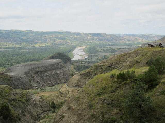
We headed off in pouring rain which just got heavier but we were hopeful since the worst of the weather was supposed to be heading east from where we started and we were heading north and then east and ultimately we came out of the rain albeit covered in mud from all the trucks coming onto the road off the dirt. What a mess, I felt sorry for Norm because he cleaned both the bikes up last night and now they look dreadful, but once we were out of the rain we remained dry and comfortable for the rest of the day. Yay. This is a shot in the North Unit overlooking a bend in the Little Missouri River.
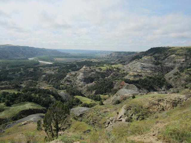
And a view from the Ox Bow Lookout at the end of the trail in the park.
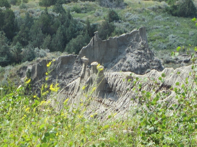
And another example of some hoodoos which won't last for many more rain showers I suspect. The grey coloured clay becomes liquid when it is exposed to water so literally runs off as sediment.
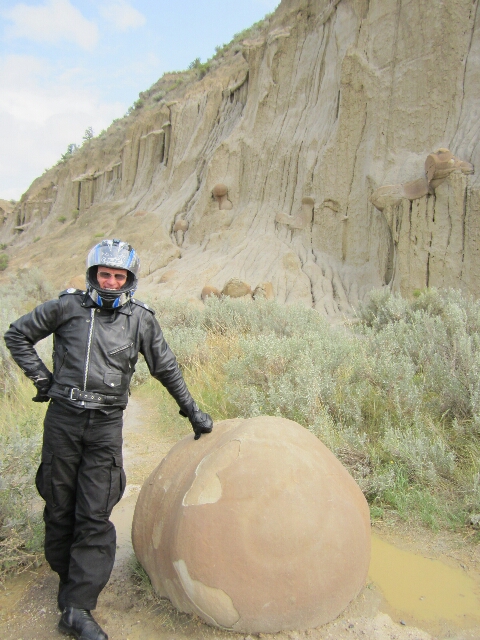
Norm beside a concretion to give you an example of the size.
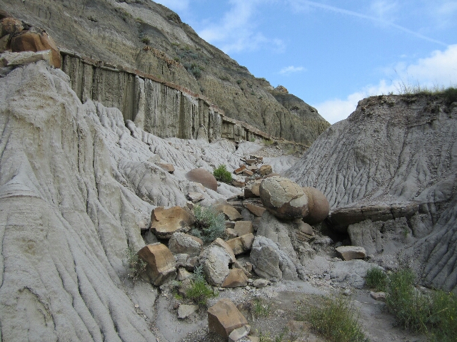
And some more examples on the edge of a clay canyon.
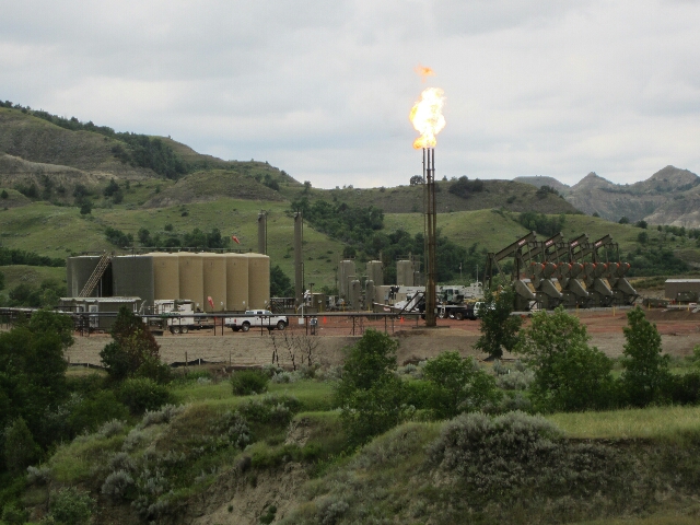
From here we headed for Waterford City for lunch and oh my goodness, talk about boom town city. Some distance out we became aware there was some massive construction happening with tip trucks and building materials of all description and practically no cars but huge numbers of what the Americans call trucks as in huge utes. We had seen a few oil donkeys in paddocks before we got in and assumed that the activity was oil related and were later proven correct. As we started to get toward the outskirts we came across some hastily developing suburbs and stop start traffic waiting for a traffic light change. We ended up driving up the emergency stop lane for several hundred metres to turn into a lunch spot. After lunch we fueled up and headed east and for some 200 plus Kms through rolling farmland full of cattle and hay bales we weren't out of sight of oil donkeys, storage tanks, larger oil derricks, flares or pipeline construction work and as for trucks! We saw hundreds sitting in yards, hundreds loading up at storage tanks or waiting to load and oil trucks in all directions on the road. It was good to get to Halladay and head south and basically left the majority of the oil activity and traffic behind. This is a shot of a facility with donkeys, flare and storage tanks before we got to Halladay.
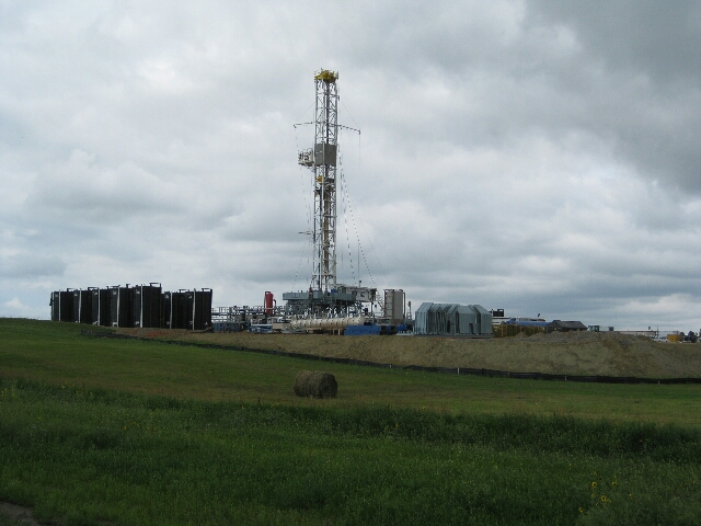
And this is an actual oil rig / derrick under construction. There were working ones each side of it.
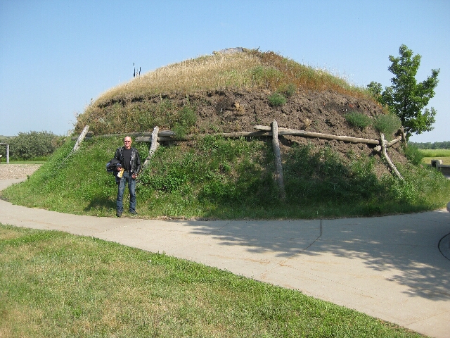
We saw a sign to the Knife River Indian Village and headed to have a look. When we were at the Great Falls Lewis and Clark Interpretive Centre we had heard of the Villages as they had spent a winter with the Mandan and Hidatsa people and ultimately taken on a French-Canadian fur trader as a translator with his wife Sakakawea (a Shoshone) and she especially had been integral to managing negotiations with tribes in the trip. Lewis and Clark had been staggered by the large numbers of people in the villages and while the circular timber and earth huts are no longer present the base of them in two villages are still present along the river and this was an example at the Historic site we visited where we enjoyed a DVD depicting the life of a woman who grew up in the village.
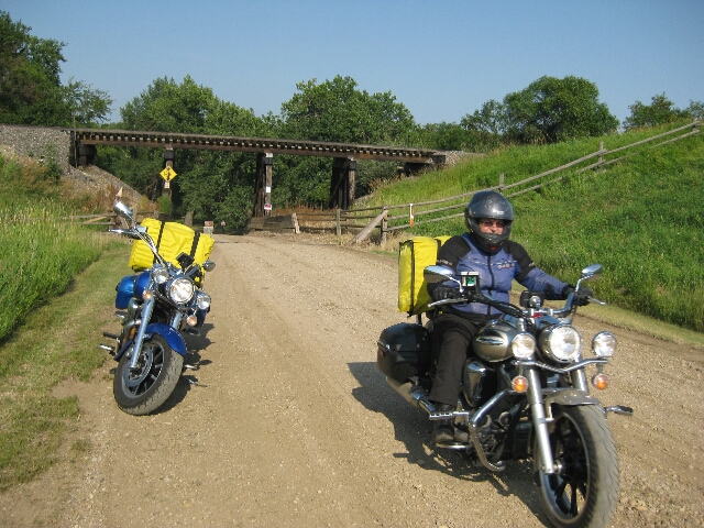
From here we continued on to Cross Ranch State Park and negotiated a crappy gravel road to get in to discover it was a great place for camping and fishing but that was about all and considering it was already 6pm we decided it wasn't for us and headed for Bismarck. Norm stopped to get a shot of the road and this is me coming back up out of the park.
Bits and Bobs:
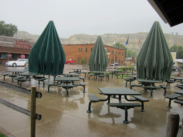
A shot of the massive umbrellas outside the Chuck Wagon where we had breakfast the last two mornings.
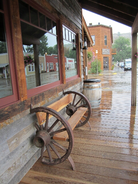
And a cute seat across the street from there in front of the Pizza Bar and Saloon and you can get a view of the other side of the street in the window reflection. We had dinner last night at the Rough Riders Hotel in the background and it was delicious..
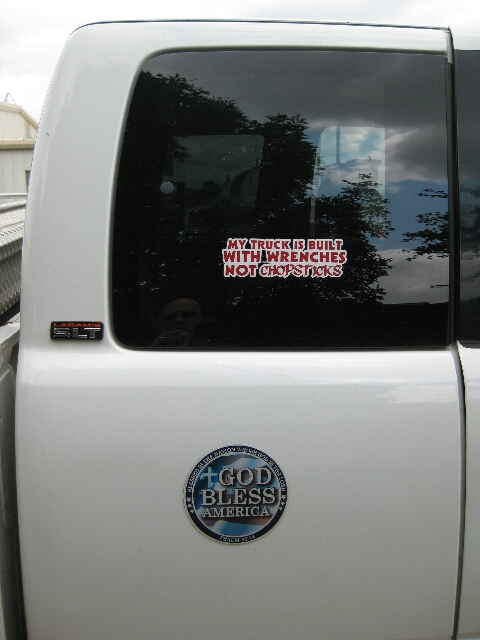
A couple of stickers on the side of a truck at Halladay.
Last 2 Night's Accommodation:
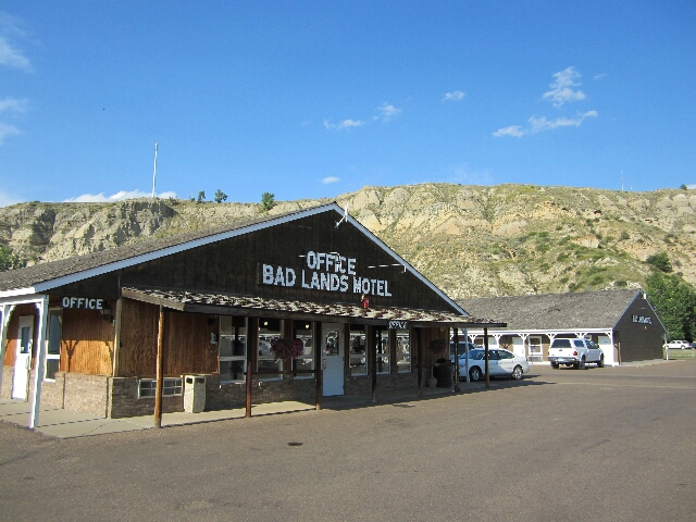
Badlands Motel, 501 Pacific Avenue, Medora, Theodore Roosevelt National Park, ND
Motel itself reminiscent of the one in Jackson but clean and well maintained and in a lot better overall condition. Re-furbished room in refurbished wing. Nicely done, comfortable space with room to sit and move around. Stand alone shower. Included parking and wifi which works. No refrigerator restaurant or breakfast but literally within short walking distance to lots of options. Given the remoteness of the location good value.