
Calgary AB to Waterton Lakes National Park AB - 10,869 kms
Jul 29, 2014
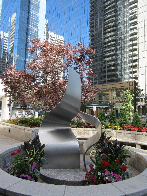
Thumbnail is a street shot of buildings and reflections of buildings near our hotel yesterday afternoon.
And a sample of some street art in Calgary, this one is called 'Fire'. We saw some larger more impressive pieces on the way out of town.
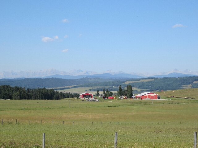
We didn't have much lined up today but a biker we spoke to some days ago suggested we head down the road to Longview as it was a great ride with big sweeping corners. Well as it turns out he was probably from really flat country with very few corners but in spite of that it was a comfortable rather than challenging ride and the scenery was just wonderful. We travelled toward Black Diamond which we assumed referred to oil since we had seen many oil donkeys operating but in the town itself there were many diagrams of black diamonds on business and municipal signs so who knows, not me. This is a shot as we started to head for Black Diamond and were delighted to see some mountaims in the distance.
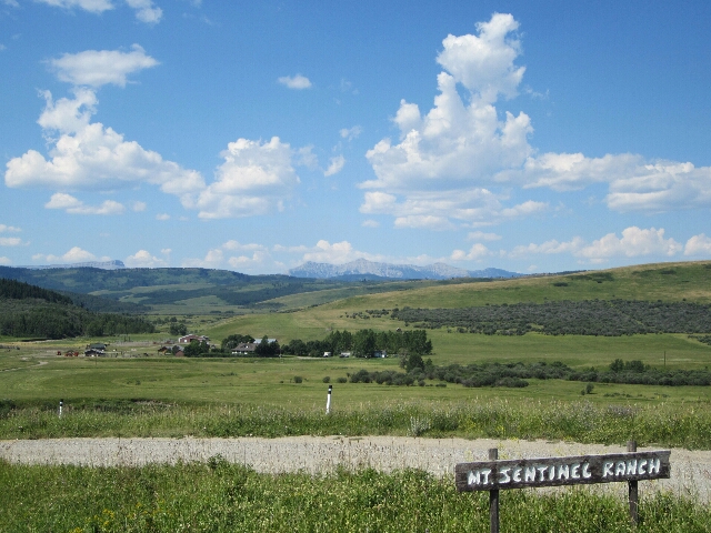
We travelled through the foothills to the Rocky Mountains for a long time and it was wonderful with broad grassy valleys sweeping up to gently undulating hills to steeper hills and mountains beyond. The grassland was phenomenal and we literally passed through thousands of acres of country which was littered with big round hay bales. When there were cattle present (rarely) they were standing in grass almost as high as their bellies at the shortest and half way up their sides at times. The cattle groupings looked like bovine maternity wards with all cows in good condition so the hard work begins again to replenish stocks after drought. A shot looking onto Mt Sentinel Ranch.
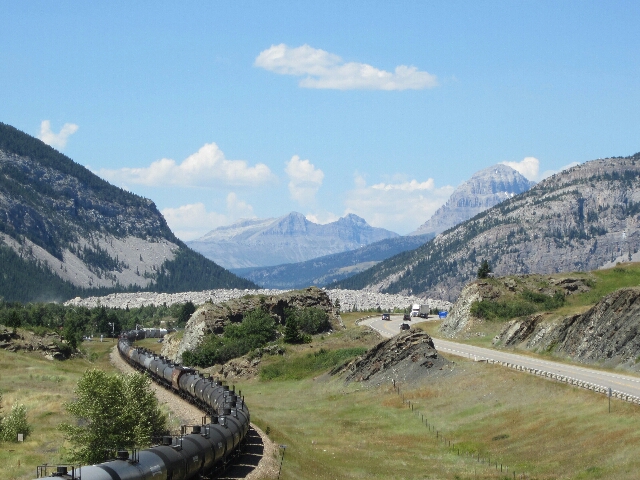
Longview was aptly named with views in all directions of lush grassy plains but by this time we had seen a sign for 'Crowsnest Pass' which sounded interesting and in the direction of some great looking mountains so off we went. We found a spot in the Pass which was famous for a disaster in the town of Frank in 1903. A limestone wedge 425m long by 150m deep broke free from the top of Turtle Mountain and smashed apart as it slid down the mountain literally covering the valley floor and obliterating part of the town. 70 people died but not the men working underground in the coal mine, they tunelled out. Just to get road and raiI line back in has been quite the engineering feat.
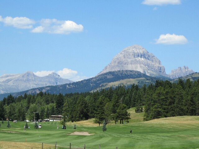
The Pass was spectacularly rugged and beautiful and they even have a golf course and country club.
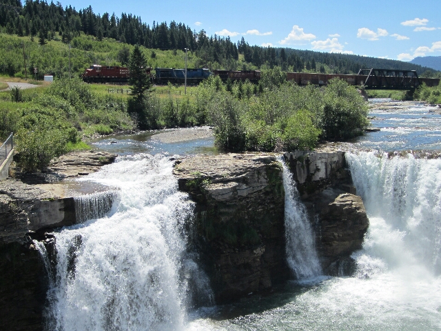
A waterfall down river from the site of the disaster with the same train.
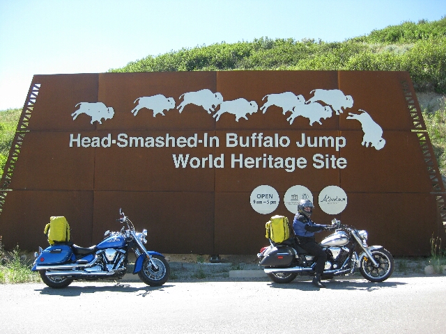
We headed back down the pass to find 'Head Smashed in Buffalo Jump' among incredibly lush and flat to undulating grassland which we expected to be the highlight of the day and it probably was. This was a cliff area where since some 6,000 years go until around 150 years ago when they gained access to horses and guns the Blackfoot Indians used to herd the Bison over the edge of the cliff to kill them and they would then set about preserving the meat and fat for sustenance then and future use and using the hides for clothing and tents and bones as tools and weapons. The interpretative centre was impressive. It was 7 storeys from the ground floor to the top where we walked along the cliff top and it was situated quite a distance above the valley floor so the fall was considerable. The centre handled the history and context of it well with the Indians livelihood as well as the demise of the bison once European man came on the scene. Embarrassing really.
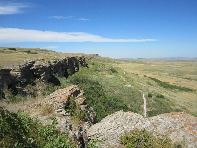
On the cliff top.

It was getting late in the day as we headed for Waterton National Park and there were several areas of rain in all directions which we had avoided throughout the day but it looked like we would get dumped on before we got in, thankfully we didn't but we got some great shots of threatening skies. We expected a ride in flat featureless country but nothing could be further from the truth. Initially we had more undulating grassland with many warnings of high wind gusts and not surprisingly prolific numbers of wind turbines but we turned toward some more hills which led to mountains and yet again WOW!. A view from Pine Ridge viewpoint as we are heading into the Natiomal Park.
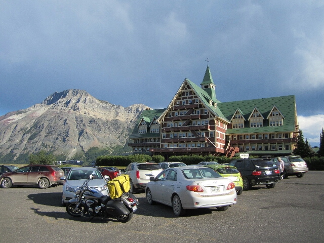
The Prince of Wales Hotel where we are not staying but literally sitting on top of a rocky outcrop above the lake.
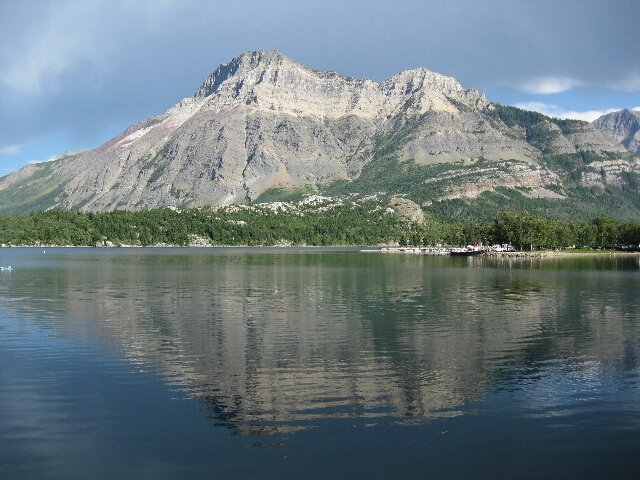
And a shot of the lake. Just beautiful.
Bits and Bobs:
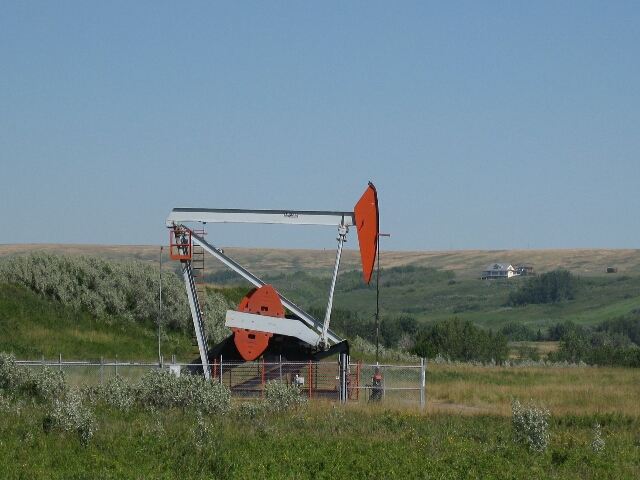
Finally got a decent shot of an oil donkey near Longview.
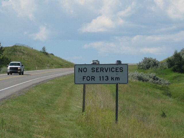
Just out of Longview a reminder that we were in remote territory.
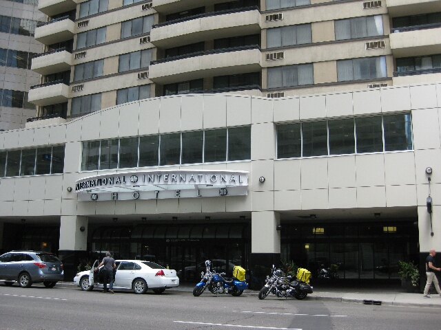
Last Night's Accommodation:
International Hotel Suites Calgary. 220 4th Avenue Southwest, Calgary AB
Generous comfortable space in the bedroom and sitting / kitchen space....the smallest space was the bathroom which was even smaller than a majority we have had so far, go figure! Included wifi and breakfast. Bar, lounge and cafe on site and a nice dinner in a comfortable chair was good at the end of the day. Between when we booked and today the parking has gone from off-site to within the building with a lift to rooms so worked well for us.