
Exploring around Twin Falls - 6,309 kms
Jul 09, 2014
The thumbnail shot is another one of the massive Snake River, this is downstream from Twin Falls.
We shared some of the frustrations of the emigrants today. Around much of this area they could see and hear the water but couldn't access it for hostile canyons barring access or sheer cliff faces which couldn't be negotiated. We set out looking for the Kanaka Rapids but discovered the road to access them is now part of a private community but we later learn't from a local that as a result of a dam they are now covered and cannot be accessed anyway. We also found the same outcome for the Bell Rapids. DOH!
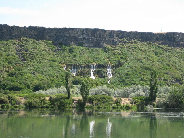
What we did see were some of the cataracts making up what is known as the Thousand Springs near Hagerman. In this area emigrants traded with Indians to get salmon,
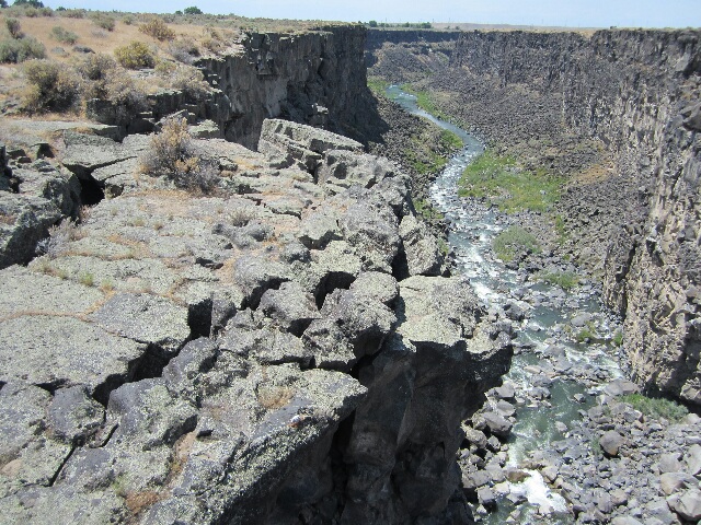
We set off then to find the Malad Gorge which was yet another deep canyon split through the black volcanic rock of the dessert floor. We were amazed at how much of the cliff walls were crumbling and leaning out into the gorge. The gorge is 140 foot wide and 250 foot deep.
An awesome find for the day was a recommendation of a local which was the 'Balanced Rock' and here it is.
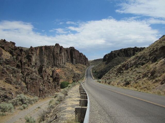
And this is part of the canyon we travelled through to get to it.
Again, once I get the You Tube thing sorted we have a video of Norm riding through the canyon.
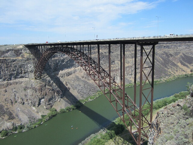
Back closer to Twin Falls is the Perrine Bridge which spans the Snake River, which is 500 foot above the river and apparently it is common to have people bungee jumping from under the bridge but not today. The coloured specs in the water are people in canoes.
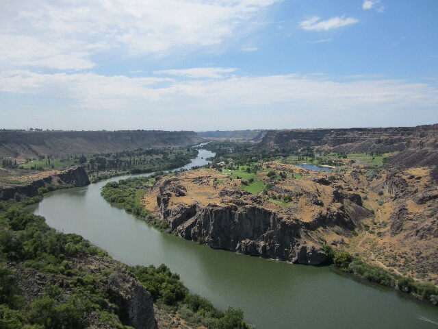
And a view back up river from the bridge.
Bits and Bobs:
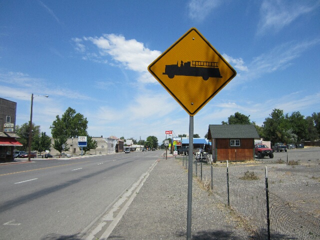
A cute fire truck sign from Hagerman.
One for the shame file - River Road Twin Falls, saw many others in the canyons also.
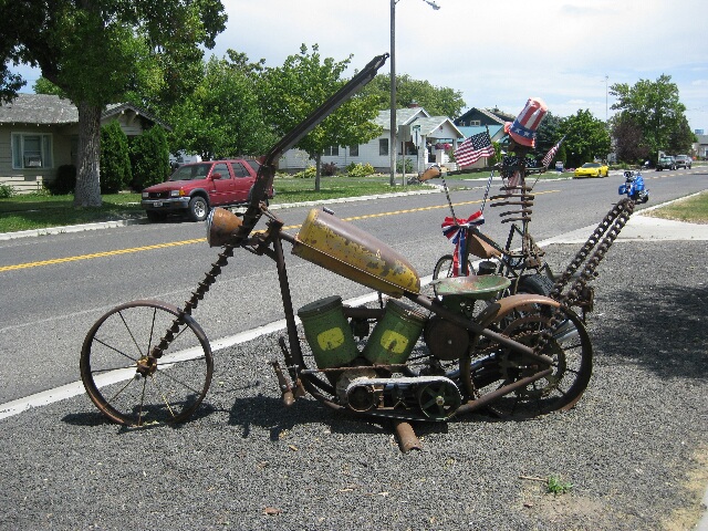
A creative sculpture on the side of the street in Buhl.